
How to Read a Tide Table for a Safe Beach Day
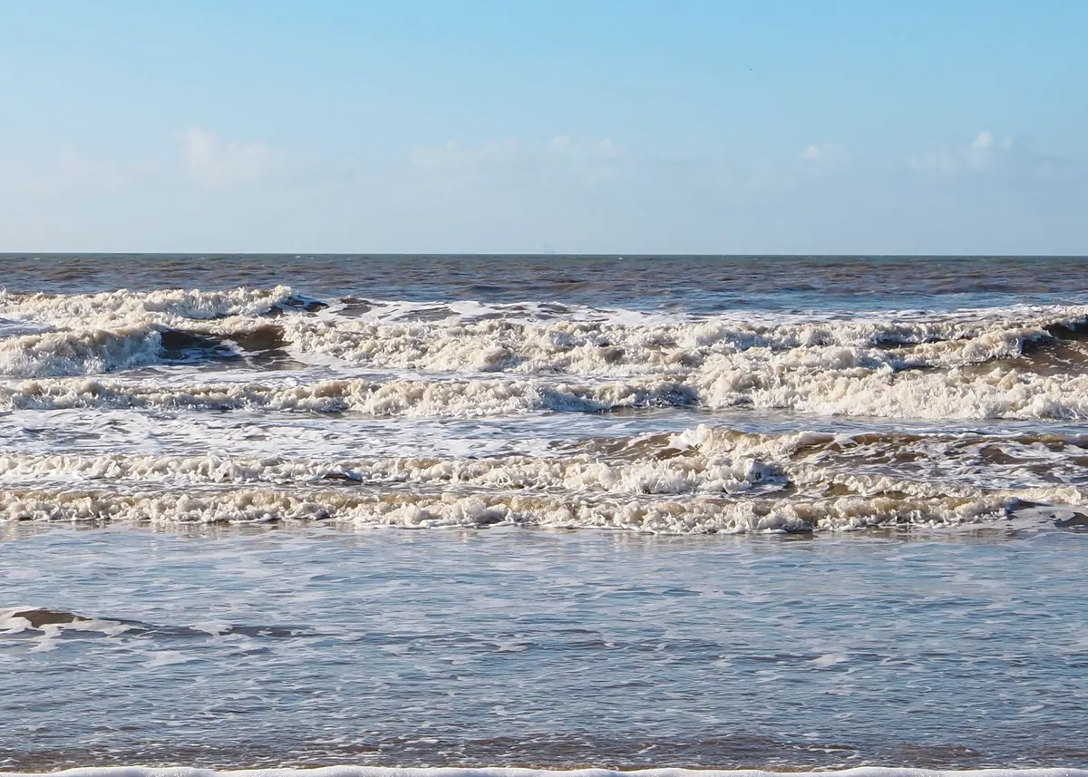
Most beach days go wrong in the same quiet way. You find a beautiful stretch of sand, the children start building a wall, and forty minutes later there is water where the towels were. No drama, no rogue wave — just the sea calmly reclaiming the beach. Tide tables exist to stop that happening, and they are far less intimidating than they look.
High water, low water, and what the numbers mean
Tides are the sea's slow rise and fall, driven mostly by the moon's pull on the ocean, with the sun adding a smaller nudge. High water is the peak of that rise. Low water is the bottom of the fall. In most UK coastal spots you get two of each in roughly a day, spaced about six hours apart — but "roughly" is doing real work in that sentence.
The heights on a tide table are measured in metres above chart datum, a low reference level based on the lowest tides reasonably expected in that area. This is where people get caught out. A low water of 0.3 m does not mean the sea has vanished; it means there will still be water in channels and pools, and that a shallow offshore bank may be just covered. A high water of 4.8 m at the same spot tells you the sea will reach considerably further up the beach.
How to read the columns
Printed and online tables follow the same pattern. Find the line for your date and read across:
- Time — the moment of high or low water. Check whether the table is in GMT or BST. In summer most UK leisure tables switch to BST, but not all of them, and an hour is easily enough to catch you out.
- HW or LW — which extreme you are looking at.
- Height — in metres, above chart datum.
- Range — sometimes listed, sometimes you subtract low from high. This is the number that tells you how much beach you will gain or lose.
If your beach is not the port named on the table, you may need a secondary port correction: a time difference of so many minutes and a height difference of so many metres. Harbour websites and local tide tables usually carry these. Take them from a proper source rather than guessing.
Why the tide is later every day
The moon takes about 24 hours and 50 minutes to return to roughly the same position relative to a given spot on Earth, and the tides follow it. So each day's high and low water arrive around 50 minutes later than the day before. That adds up quickly. If low water is at 9am today, then a week from now the same low falls somewhere near 3pm. Plan a trip using last weekend's timings and you will be well over an hour out by midweek.
Within a single day the gaps are not exactly six hours either. In some places the two daily highs differ noticeably in height, and the intervals stretch and squeeze. That is normal, not a fault in the table.
Spring and neap tides — nothing to do with the season
"Spring" here means the tide springs up, not the season.
- Spring tides fall around a new moon and a full moon, when the sun and moon line up and their pull combines. The range is at its greatest: more beach exposed at low water, more covered at high.
- Neap tides fall around the first and last quarters, when the sun and moon pull at right angles. The range is at its smallest.
The cycle turns over roughly every fortnight. This matters more than most people realise. A sandbank you can wade to at a spring low may be chest-deep at a neap low, because neap lows simply do not go as low. Turn it around and a spring high can reach places a neap high never touches — the foot of a slipway, a cave mouth, a path around a headland.
What a tide table cannot tell you
Tide tables are predictions for average weather. Real water levels shift with conditions.
A sustained onshore wind pushes water against the coast and can raise levels noticeably, especially in a shallow estuary. Low atmospheric pressure does something similar. High pressure and an offshore breeze can do the opposite, holding levels down. In extreme cases you get a storm surge, and coastal flood warnings will be issued — those deserve your full attention, and low-lying beaches are not the place to be.
Local geography matters too. Estuaries and narrow channels can fill faster than open coast, and some beaches have a reputation for the speed at which water comes in behind you. A gently sloping sandy bay can cut you off around a headland with no obvious warning at all.
Turning a table into a safe beach day
- Find the closest port listed on the table, apply any secondary port corrections, and confirm the time zone.
- Note the next high and low water, with heights. Work out the range.
- Aim to arrive on a falling tide, ideally a couple of hours before low water, so the sea is still going out while you settle.
- Decide your turnaround time — the moment you start heading back up the beach, not the moment you first notice the water.
- Check wind direction and strength, along with any coastal flood or weather warnings.
- Read the signs at the access point and speak to a lifeguard if one is on duty. Local knowledge beats any table.
- Set an alarm on your phone. Time slides away when the sun is out.
- If a rising tide looks close to cutting off your route back, move now rather than finishing one more sandcastle.
The habit worth keeping
Before you unpack anything, look at the sea, find the strandline left by the last high tide, and work out how much beach you have left. Then check your watch against the table. That thirty-second habit — where the water is, where it is going, and when it gets there — is what turns a good beach day into a safe one. Everything else is detail.